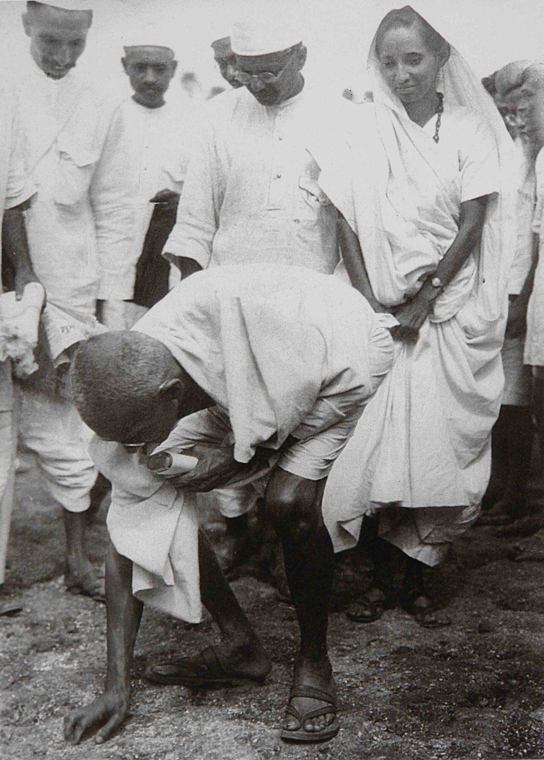
“I was only seven at the time when Pakistan was formed,” said the tall, turbaned Sikh man who now owns a store in the famous Refugee Market (also known as Mohan Market) of Lucknow. “It must have been either the 16th or the 17th of August 1947. New flags were being hoisted in both countries. We were a family of farmers in the village of Naushehara, district Sargoda, now in Pakistan. Our Musalman friends and employees came to warn my father: ‘Sardar ji, tonight, you must leave. Tomorrow or the day after — it is hard to tell — there will be an attack. We cannot be responsible.’ And around 11:30 that night, we all left on horses for the Sillanwali camp, and from there to Amritsar, Delhi, and finally to Lucknow. Even today, sixty-nine years later, my raungtey or the hair on my arms stands on end just thinking of those days.” The Sikh man with an unforgettably proud demeanour narrated this as his eyes welled up with unshed tears.
Toba Tek Singh is a city and a tehsil (district) named after a Sikh faqir (Tek Singh) who is said to have served the population from the water of the well (toba). In 1947, following the formation of Pakistan, this city fell just within the borders of Pakistan. Despite the fact that many Pakistani cities have been renamed to reflect their presence now in an Islamic state, it is a tribute to Tek Singh and the people he served that the name of this city has not been changed.[1]
Today, Toba Tek Singh is better known for Saadat Hassan Manto’s story by the same name – a satirical comment on the insanity of the partition of India on religious grounds:
“Two or three years after the 1947 Partition, it occurred to the governments of India and Pakistan to exchange their lunatics in the same manner as they had exchanged their criminals. The Muslim lunatics in India were to be sent over to Pakistan and the Hindu and Sikh lunatics in Pakistani asylums were to be handed over to India.[2]
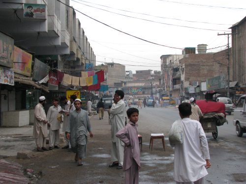
Photo: Peshawar by Gerardo Diego Ontiveros. From flickr under creative commons license: Attribution, NonCommercial, NoDerivatives.
The city of Peshawar, located in the northwest border between India and Pakistan, narrates its story as a chorus in Awtar Engill’s Punjabi novelette, Purushpura (land of men):[3]
“I am fortunate that during every divisive period in history, I have continued to witness the growth of friendships. I am however unfortunate that I have seen much of the lives of these god-like inhabitants turn into ashes by the fires of hate. The last British Viceroy of India, Lord Louis Mountbatten, advanced the partition of India by ten months without making adequate arrangements for the safe exchange of populations. Thus took place one of the most violent and insane migrations between two nations. Despite the presence of nine hundred and sixty thousand reserve forces, ten million and twenty thousand people were forced to flee on trains, horses, mules, lorries, human caravans, whatever they could find. 1.2 million men women and children were massacred, and countless young women raped and abandoned. The Hindus and Sikhs who left Pakistan for a free India came to be known as refugees, and the Muslims who left India for a free Pakistan were called mujahirs, while the leaders of both countries – the ones who turned the wheels of the millstone – kept grinding the souls of the poor and the defenceless.
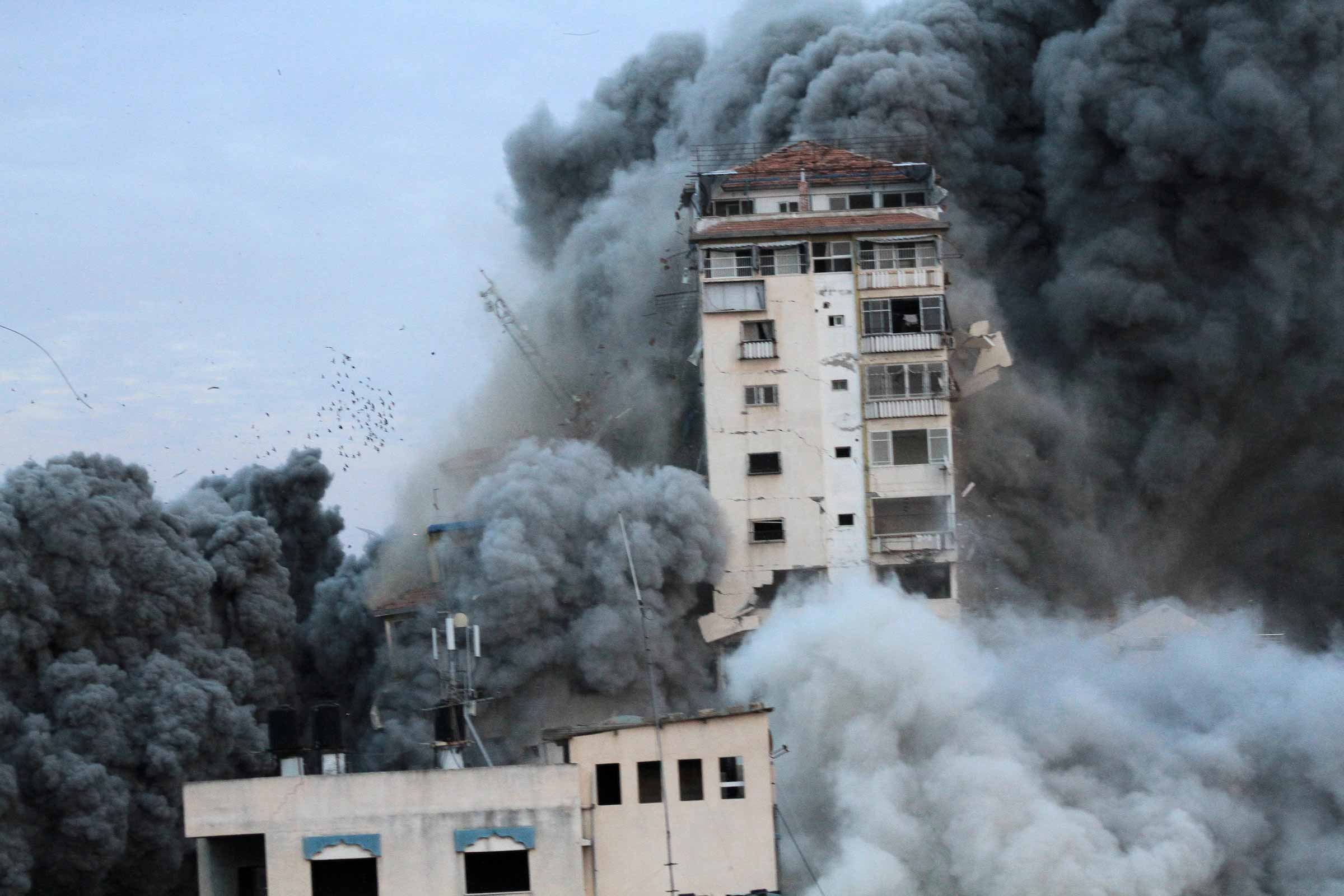
Today, Peshawar is again in the hands of those who like to play with fire. Lessons of hate are being etched into the minds of the innocent, and the ‘learned-wisdom’ of this intellect is ready to kick-start the beginning of another end.”
[Our free-style translation from the original Punjabi, with permission from the author]
The insanity of such divisions is nothing new, and has been repeated many times over, leaving behind entire populations of nations to cope with the resulting chaos, death and destitution. The most notorious drawings of such lines took place at the Paris Peace Conference (1919-1920) where the Big Four – Britain, France, Italy and the United States – took up the task of negotiating with the enemy and tracing new border lines. As Margaret MacMillan writes, “The German-speaking southern part of Tyrol” was awarded to Italy. “Galicia went to Poland, Bohemia to Czechoslovakia. Some three million German-speaking Austrians went with them.”[4] Discussions were held where “the Syrian coast, much of today’s Lebanon, was to go to France, while Britain would take direct control over central Mesopotamia, around Baghdad, and the southern part around Basra.” (p. 384) Regarding the fate of the millions of Jews trying to leave the former Russian and Austrian empires, the “obvious solution” seemed to be “to let them go to Palestine” simply because it was “underpopulated, with plenty of empty space.” (p. 410)
The example of the Balkans remains by far the most insane of all re-organizations. “The British,” writes MacMillan, “were largely indifferent to what happened in the Balkans, as they were to most of Central Europe, so long as British interests, whether commercial or naval, were protected… The Americans, in the Balkans as elsewhere, saw their role as that of honest broker, cutting through the thickets of the old diplomacy to apply the brave new standard of self-determination… How could you draw neat boundaries where there was such a mixture of peoples? How could you leave people together who had come to fear each other?” The borders drawn through the region “left in their wake unhappy minorities and resentful neighbours.” (pp. 122-123)
The Ogaden region – once in Somalia, now in Ethiopia and victim to the madness of a bloody civil war – ended up re-drawing its map at the cost of its people, torn between being Ethiopian and having a Somalian past. Askar, the protagonist in Nuruddin Farah’s novel, Maps, grapples with conflicting identities:[5]
“He now studied the map as reflected faithfully in the mirror before him. So many hundred kilometres to Kallafo, so many to Jigjiga; so many from Jigjiga to Hargeisa; and from Hargeisa to Mogadiscio; so many from Mogadiscio to Marsabet in the Somali-speaking part of Kenya. Maps. Truth. A mind travels across the graded map, and the eye allots the appropriate colours to the different continents. The body takes longer to make the same journey… And there is a big, painful difference, thought Askar, between the Somali situation today and that of the early 1940s when all the Somali-speaking territories, save Djebouti, were under one administration. And so it was again, for a brief period in 1977-78, when the Ogaden was in Somali hands. But the Somalis, government and people, were busy fighting a war on the ground and in the corridors of diplomatic power and no one released an authorized map of reconquered territory. Truth. Maps.”
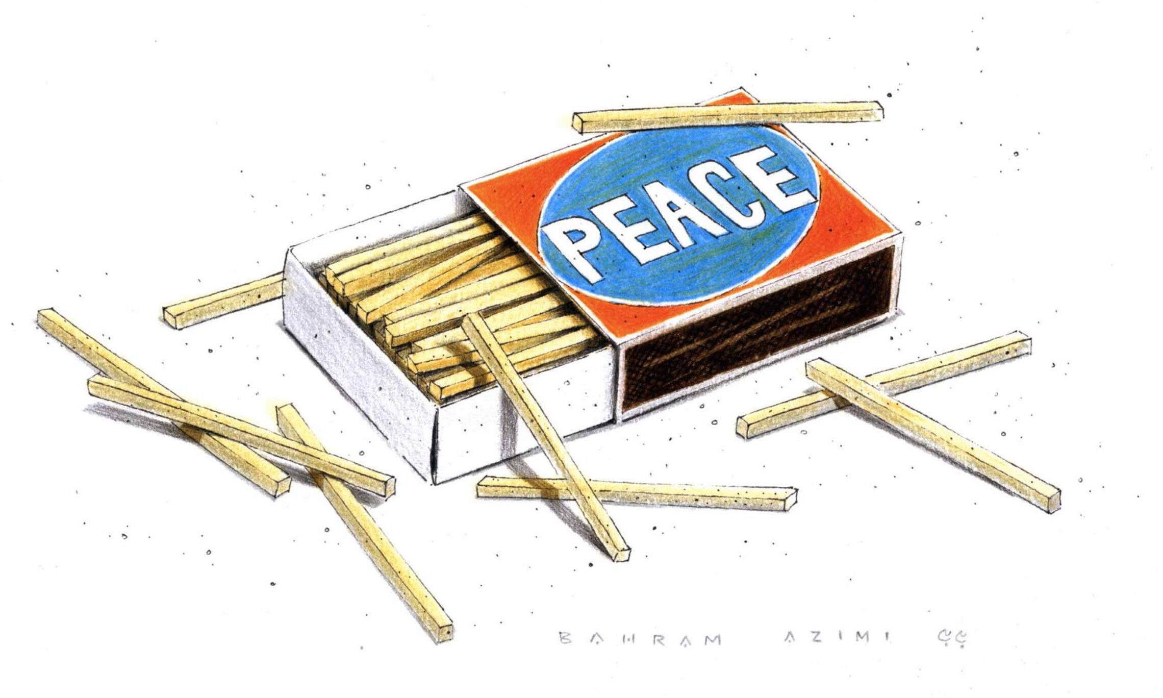
And now, as we hear prospective leaders of powerful countries boast about building new walls, and as our planet begins to collapse from the scourge of greed that will not end until it draws the last dregs from depleting resources, we are neglecting the basics: the growth of friendships rooted in the religion of humanity, the breaking down of divisions, and the unmasking of our essential needs exposing our essential selves – the beautiful and the ugly – and then offering our mashk (goatskin bag) of fresh, clean water drawn from Tek Singh’s toba.
[1] https://en.wikipedia.org/wiki/Toba_Tek_Singh
[2] Saadat Hasan Manto, Toba Tek Singh: Stories. Trans. by Khalid Hasan. India: Penguin Books, 2008. An English version of the story “Toba Tek Singh” is available at: http://www.sacw.net/partition/tobateksingh.html
[3] Awtar Engill, Purushpura. Chandigarh, India: Lokgeet Parkashan, 2014
[4] Margaret MacMillan, Paris 1919: Six Months that Changed the World. New York: Random House Inc.: 2001, p. 250
[5] Nuruddin Farah, Maps. New York: Pantheon Books, 1986, p. 242